
10-Year Land Movement Report · Most homes $345*
Monitor your Land Stability
From Space.
On-Demand Land Movement Reports - see what has been measured before you buy or buildReal-Time IoT Monitoring & Alerts - catch ground movement before it costs youEnterprise Land Intelligence Platform - manage risk across your whole portfolio
Up to 10 years of property history from just $345 incl. GST ($300 + GST) · one payment, no subscription · most homes are the lowest tier. See pricing
 NZOwned




10-Year Land Movement Report
Up to 10 years of movement. Check Before you Buy.
Is my house moving? Common questions, answered
The LandSure 10-Year Land Movement Report shows how the ground under a property has moved over up to ten years - drawn from satellite InSAR data and delivered as a clear, plain-English PDF. A straightforward way for buyers, owners and professionals to check land movement before making a decision.
Check what the satellite record shows before you buy or build.

Built on world-leading satellite intelligence
In partnership with SatSense, LandSure brings InSAR ground-movement measurement - used on rail, mining and infrastructure worldwide - to New Zealand property.
Monitor Your Property From Space
Check your land before you buy.
Protect your home.
Plan with confidence.
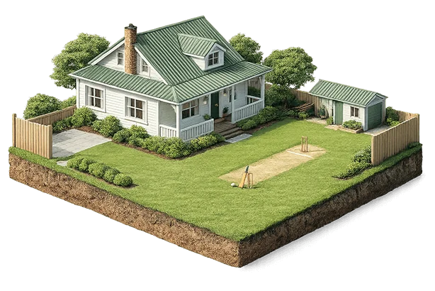
LandSure gives you the insights you need to understand your land, protect your investment, and plan for the future.
Scale your operations.
Deliver more value.

Built for geotechs, engineers, developers and organisations who need powerful tools to manage risk and deliver at scale.
Spot ground movement early. Act sooner.
LandSure gives homeowners, geotechs and organisations the clarity to act early and reduce risk before small movements become big problems.

Measured movement
See where measured movement is worth a closer look, so a geotechnical engineer can be asked sooner.
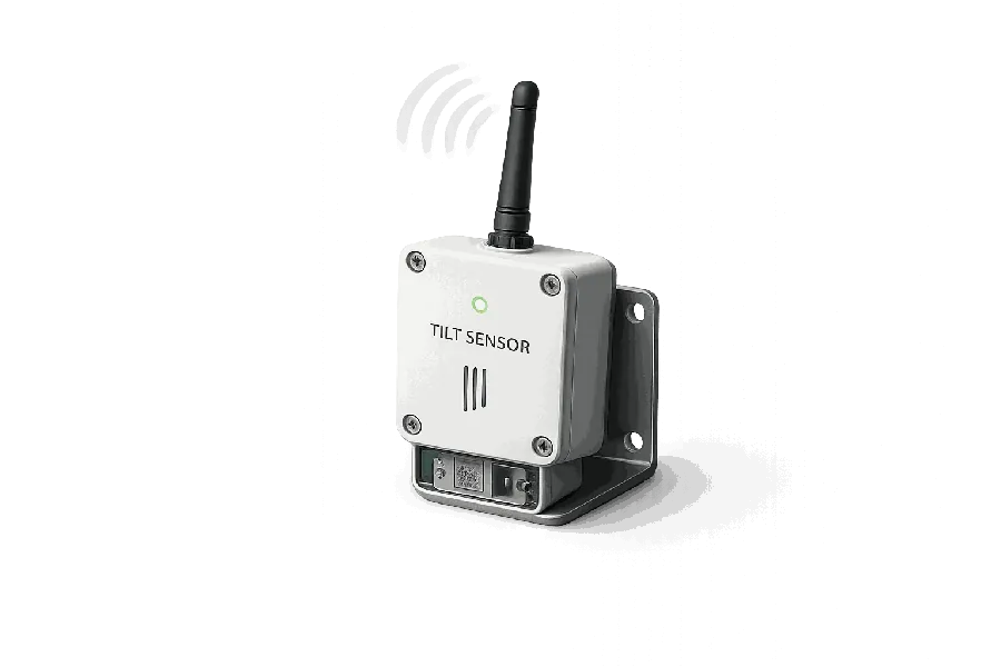
Integrate IoT Sensors
Connect and integrate IoT sensors, for real-time monitoring of high risk areas
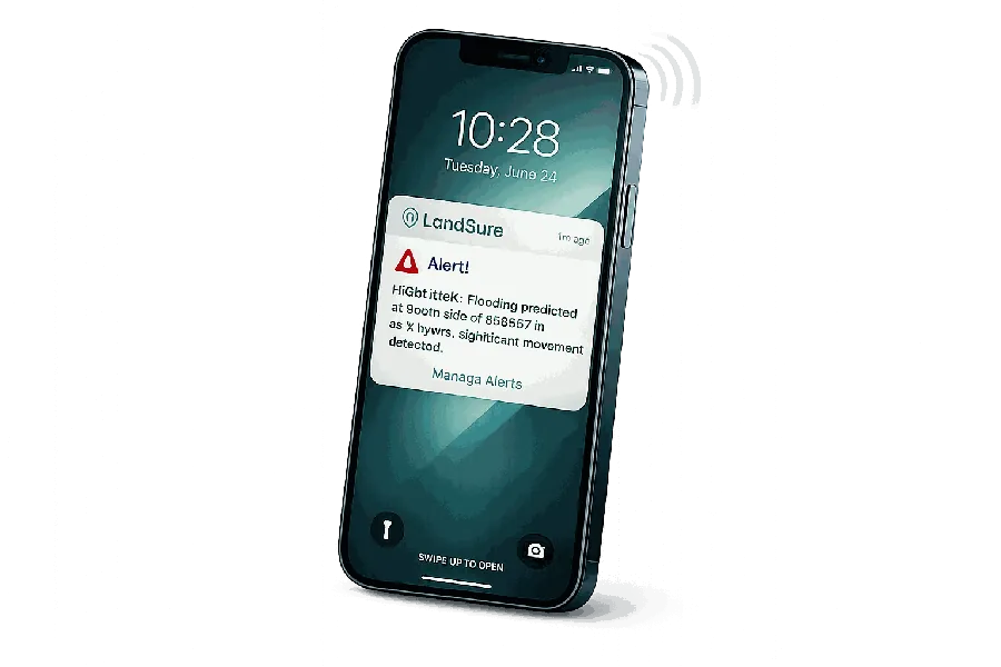
Instant Text Alerts
SMS alerts for up to 5 mobile numbers. Email updates for events.
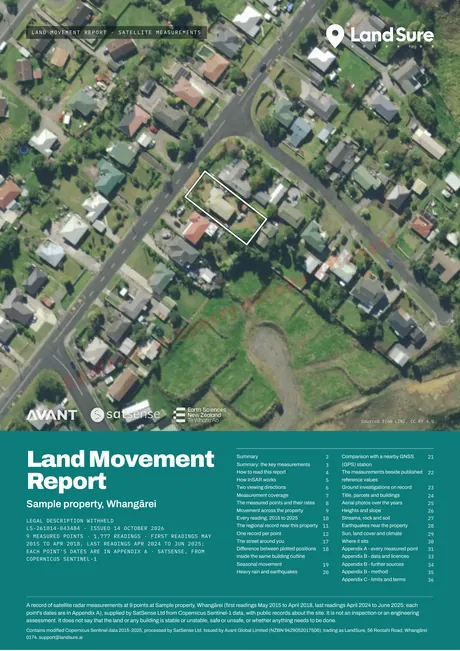
Bi-Monthly Email Reports
Clear insights you can share with professionals. Makes complex data simple.

Use with Local Geotechs
LandSure is designed to be an additional tool for local surveying & civil support.
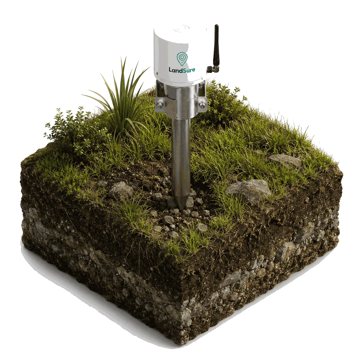
Real-Time Protection for High Risk Areas
Connect IoT Sensors. Get Real-Time Alerts.
Wireless tilt-sensors provide continuous, real-time monitoring of land movement in extreme cases. Installed on site by your geotechnical engineer, and reporting into your LandSure dashboard.
Contact our Enterprise TeamSatellite intelligence gives you the big picture. IoT sensors give you real-time certainty where it matters most.
Detect early. Monitor continuously. Respond instantly.Protect your home and your future.
(Monitoring platform: enquire with our team)

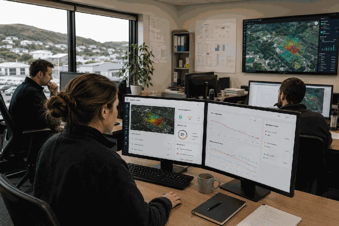
Use LandSure Enterprise for Your Business.
More reports
Public records reports for a property.
Each report sets out public records about one property, with the source and record date on every figure. Each can be bought on its own.
Talk to our team
Find the right LandSure plan for your needs.
Tell us a little about your property or organisation and our team will be in touch with tailored advice, pricing and a platform walkthrough.
Please read before you buy. A LandSure report is a satellite measurement. It is not an inspection, an engineering assessment or a warning system, and satellite radar does not measure all land equally well. Nine things to know before you buy.