
Your land, monitored from space.
InSAR Land Monitoring
LandSure's InSAR Monitoring uses the same satellite data, updated every 12 days - but instead of a one-time report, your property is continuously watched. When the measured movement at a point changes, you get an alert.
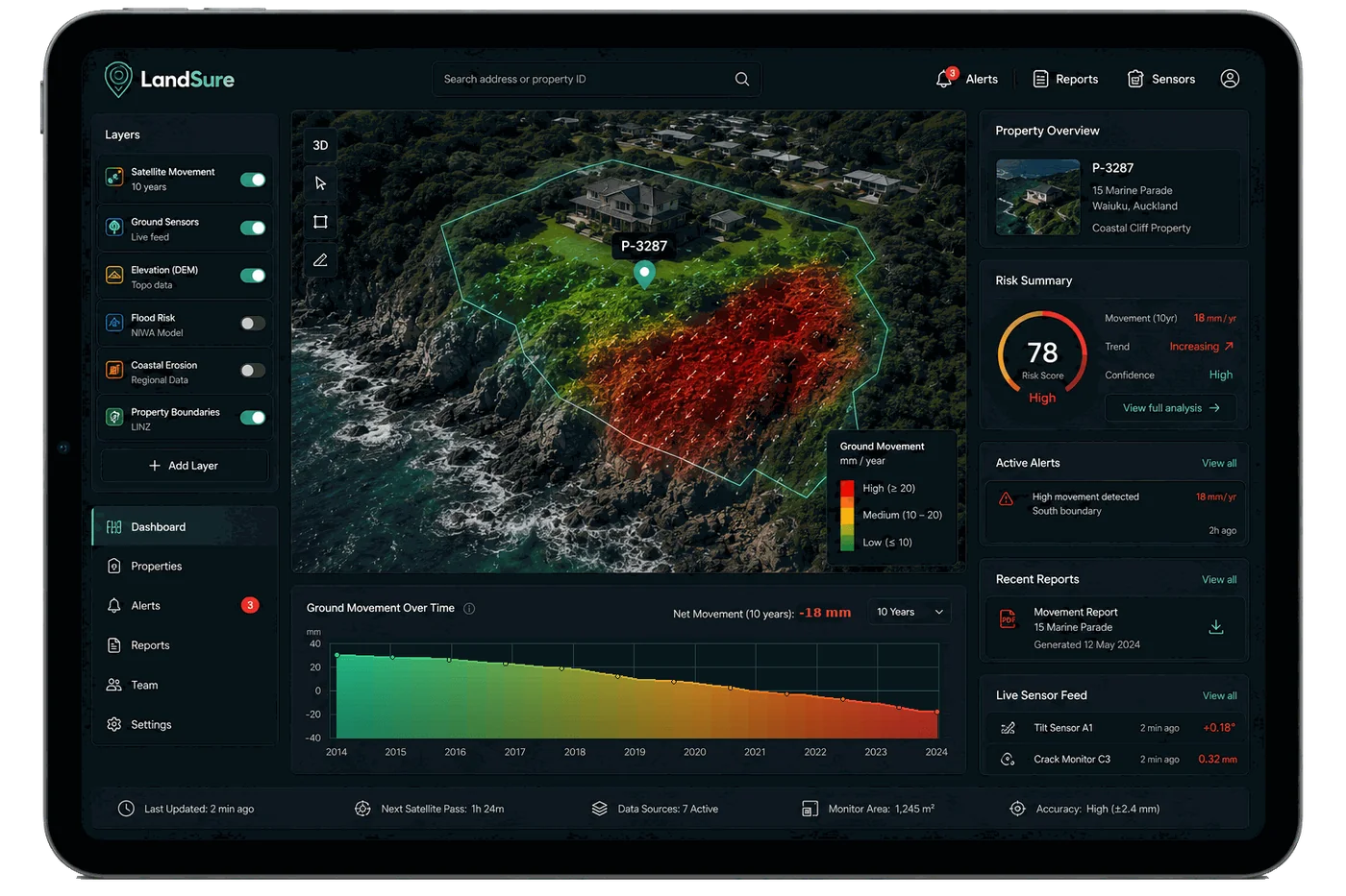
Example: rate changed
Please read before you buy. LandSure is not a geotechnical engineer, and this report is not a geotechnical assessment, certification or a professional opinion. It is a record of how measured surfaces have moved, made from satellite data. It is meant to be used alongside your local geotechnical engineer, who knows your area and the differences in the land. InSAR does not work equally well in all land types, so please check that this product is right for you before purchasing.
Enquire with our team.
LandSure Monitoring is available by enquiry. Send us your details and our team will be in touch about your property.
Thanks, we've received your enquiry.
Our team will be in touch. In the meantime, you can order a land movement report for your property now.