
Find the right report for your property.
Simple, size-based pricing for the 10 Year Land Movement Report. One-time purchase, NZD incl. GST.
Standard
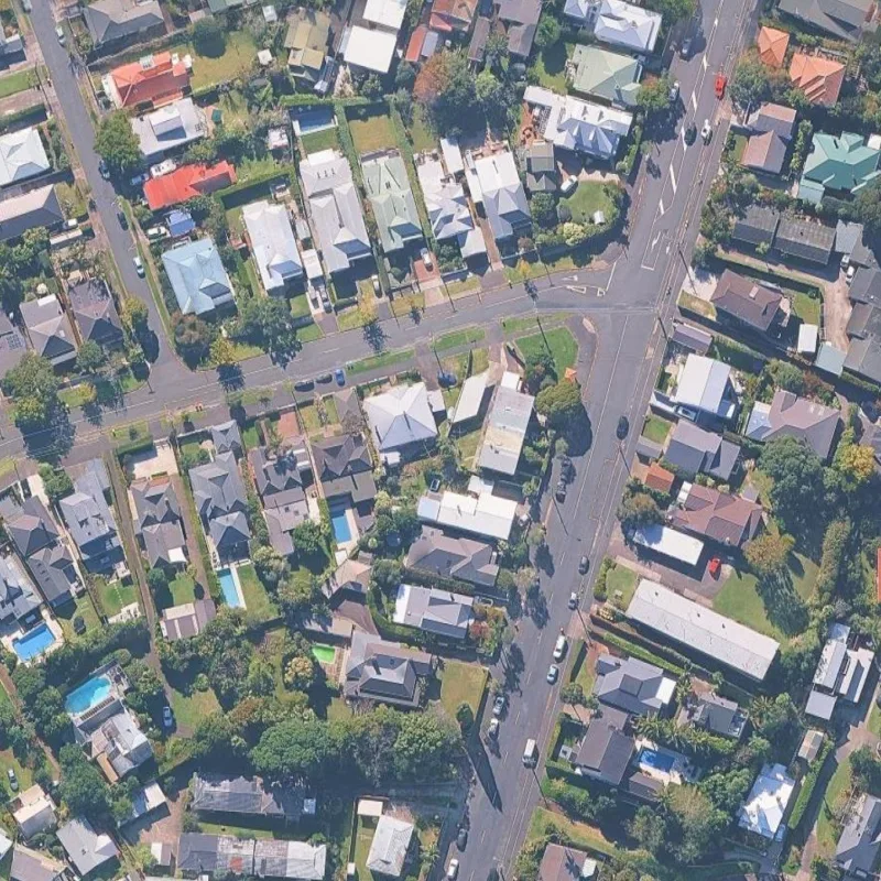
Properties up to 500 m²
Best for a standard residential section.
- Full land movement report
- Each measured point's rate in one of three classes: under 5, 5 to 10, and 10 mm a year and over
- PDF report · data files available upon request
- Delivered within 24 hours, quality checked
Larger
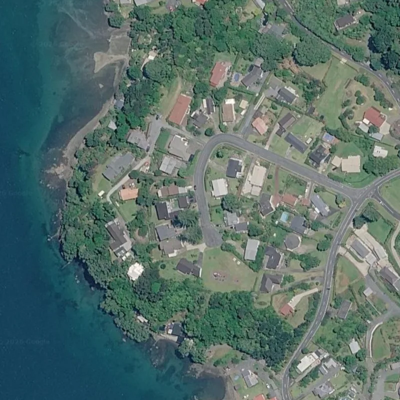
Properties 501 - 1,000 m²
Best for a larger residential or family section.
- Everything in Standard
- For sections of 501 to 1,000 m²
- Flat rate - no per-m² billing
Lifestyle & Rural
Base price + per-m² above 1,000
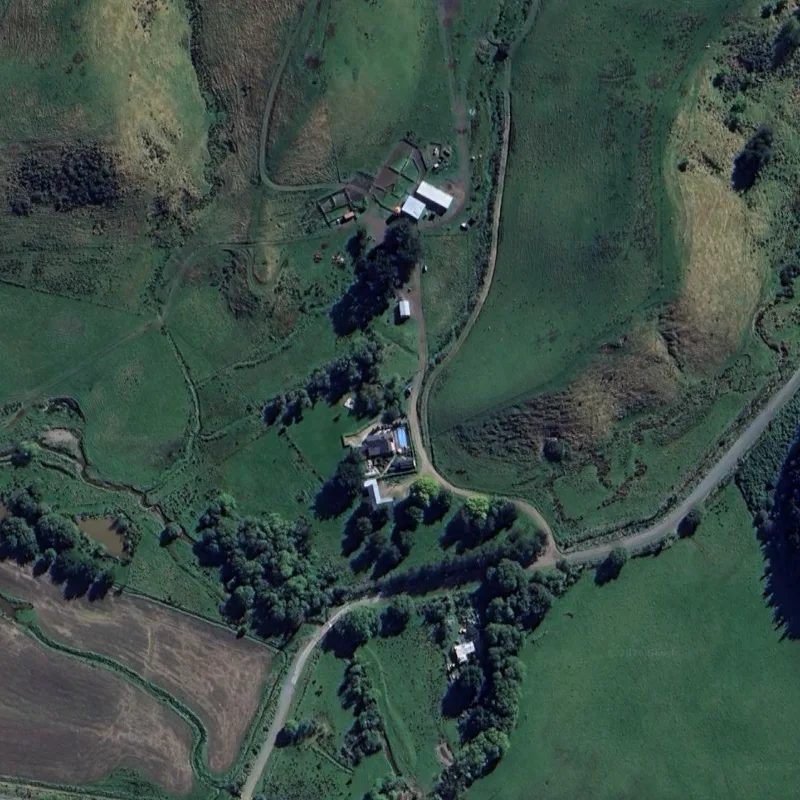
Best for lifestyle, rural & commercial land.
- Everything in Larger
- Whole-site coverage, any shape
- Priced per square metre
- Online up to $2,500, then a team quote
What is included in every report
What you get in your report
Every tier receives the same full report - only the land area covered changes.
- A full PDF report (the sample runs to 38 pages) with a two-page summary
- Up to ten years of measured movement, with every measured point mapped and charted
- Movement across the property, point-by-point records and the street around you
- Is the house moving evenly, seasonal movement, heavy rain and earthquakes
- A comparison with a nearby GNSS (GPS) station
- Title, parcels, buildings, heights, slope and streams, and council hazard mapping where the council publishes it
- Every measured point listed in an appendix
- Plain-English notes on what each finding means, and what the report cannot tell you
How our customers are using these reports
Supporting documentation alongside professional advice - not a substitute for it.
- Screening: where measured ground movement has been recorded on and around the property
- Pre-purchase due diligence - know the movement history before you commit
- A dated record to take to your engineer or adviser before you decide
- Planning builds, renovations or retaining works
- A head start for your geotechnical engineer's site assessment
- Ongoing records for farms, portfolios and managed land
BEST USES AND LIMITATIONS OF INSAR TECHNOLOGY
Where LandSure works best
Satellite radar is incredibly good at measuring some surfaces, and less reliable on others. Here’s a simple guide to help you understand where LandSure delivers the most confidence.
✓Great for
- ✓Buildings, roofs and paved urban surfaces
- ✓Roads, rail, dams and hard infrastructure
- ✓Slow trends: subsidence, settlement, creep
- ✓Exposed rock, cliffs and quarry faces
- ✓Rural properties with buildings and yards
✕Less reliable for
- ?Steep slopes facing away from the radar
- ?Movement running north–south
- ?Very fast movement between satellite passes
- ?Pasture, crops and bare soil
- ✕Sudden slips and earthquakes
- ✕Bush, forest canopy and water
Full detail on every surface type is on the How It Works page.
Planners · Surveyors · Enterprise
Built for teams working at scale.
If you order across multiple properties, resell to clients, or monitor large or dispersed sites, talk to us about a plan built around how you work.
- White-labelling for your firm
- Multiple small areas across larger sites
- Monitor only what you need
- Volume & wholesale pricing
Recommended retail pricing for the LandSure 10 Year Land Movement Report, in NZD including GST. Properties up to and including 500 m² are a fixed $345; 501-1,000 m² is a fixed $575; over 1,000 m² adds $0.46 for each square metre above 1,000 to the $575 base. Online pricing stops at $2,500 (about 5,185 m²). Above that: Speak to the team about creating a custom boundary and saving you money.
Please read before you buy. LandSure is not a geotechnical engineer, and this report is not a geotechnical assessment, certification or a professional opinion. It is a record of how measured surfaces have moved, made from satellite data. It is meant to be used alongside your local geotechnical engineer, who knows your area and the differences in the land. InSAR does not work equally well in all land types, so please check that this product is right for you before purchasing.
By enquiry
Two more ways to watch your land.
The report is the history. Monitoring adds the present (by enquiry); sensors add the moment (by enquiry).
By enquiry
InSAR Land Monitoring
Enquire with our teamContinuous 12-day satellite monitoring with SMS and email alerts when your land starts behaving differently.
Enquire with our TeamBy enquiry
IoT Sensor Integration
Quoted to your siteGround sensors that confirm satellite signals with real-time field readings, every 15 minutes.
Enquire with our TeamRecords reports
Two more reports, priced separately.
Property and Planning Records is $79 on its own, or $49 in the same payment as a Land Movement Report for the same property. Rural Land and Water Records is priced by the block's legal area: $199 up to 50 ha, $249 over 50 ha to 250 ha and $299 over 250 ha to 1,000 ha. Prices include GST.